
Farm Maps
Fields, boundaries, and guidance lines

About FieldFusion
We are building the digital foundation that brings farms, people, and machines together.
Our belief
Every field, machine, task, and season creates valuable information. We believe that information should move freely across the farm—helping people see more clearly, work more confidently, and build for what comes next.
Our vision
Connected intelligence
Fields, boundaries, and guidance lines
Satellite, soil, yield, and crop data
Live environmental conditions
Position, status, and operation history
Coverage, materials, and cost history
Connected operations
Guidance and route execution
Connected field equipment
Seeding, spraying, and variable rate
Accurate field capture
Task dispatch and verification
What we can do today
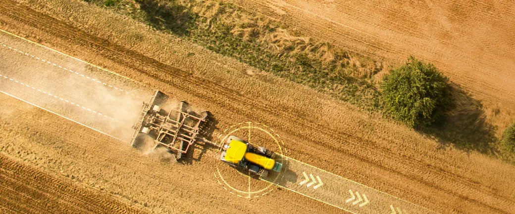
Send fields, AB lines, tasks, routes
Back tracks, area, speed, reports
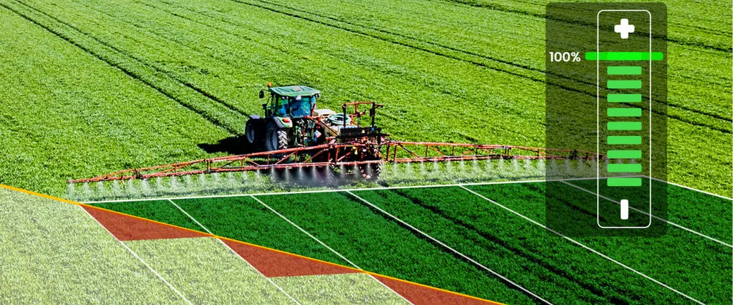
Send prescription zones and rates
Back coverage and application results
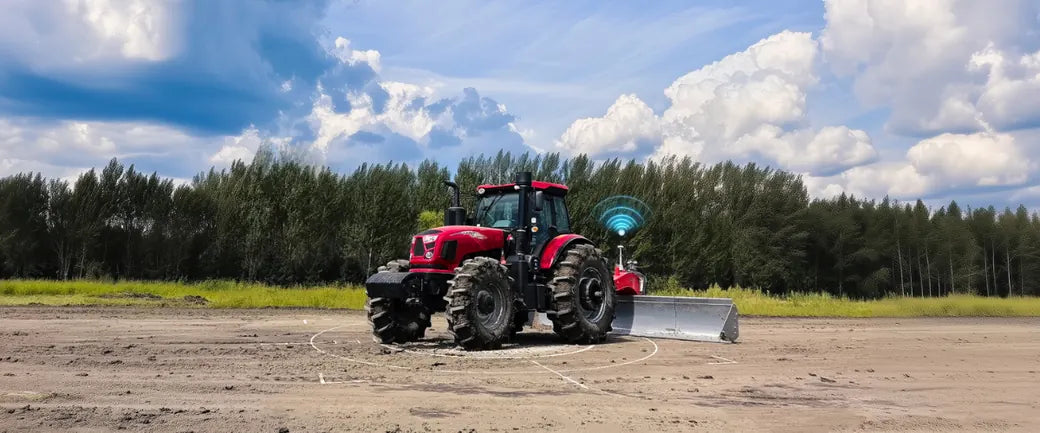
Send design and leveling tasks
Back post-operation terrain results
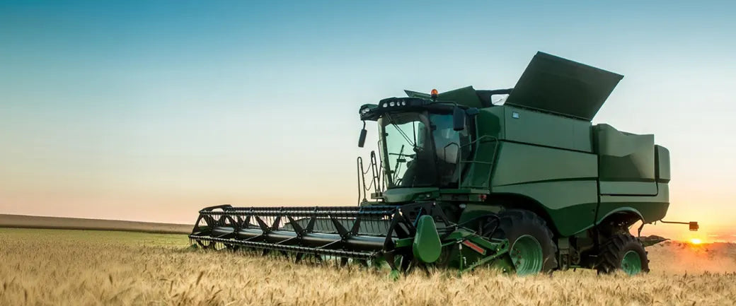
Back yield and moisture maps
Next plan seeding and prescriptions
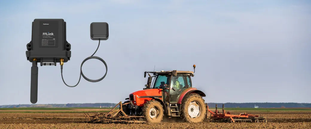
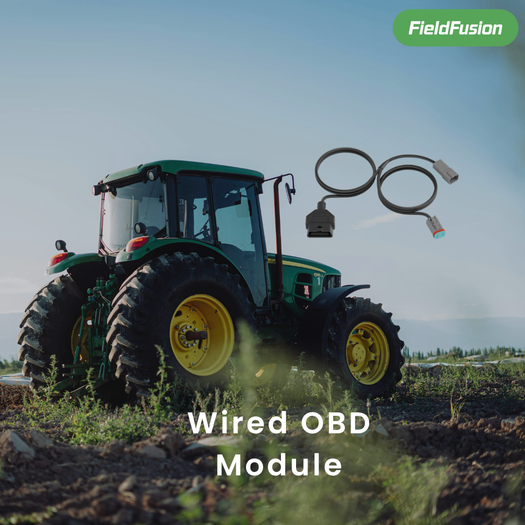
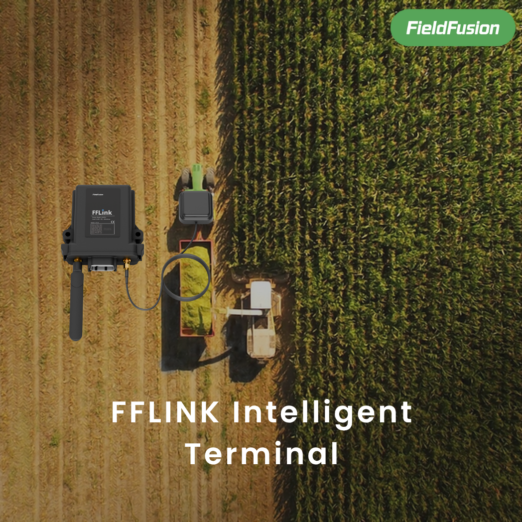
Bring in machine and terminal data
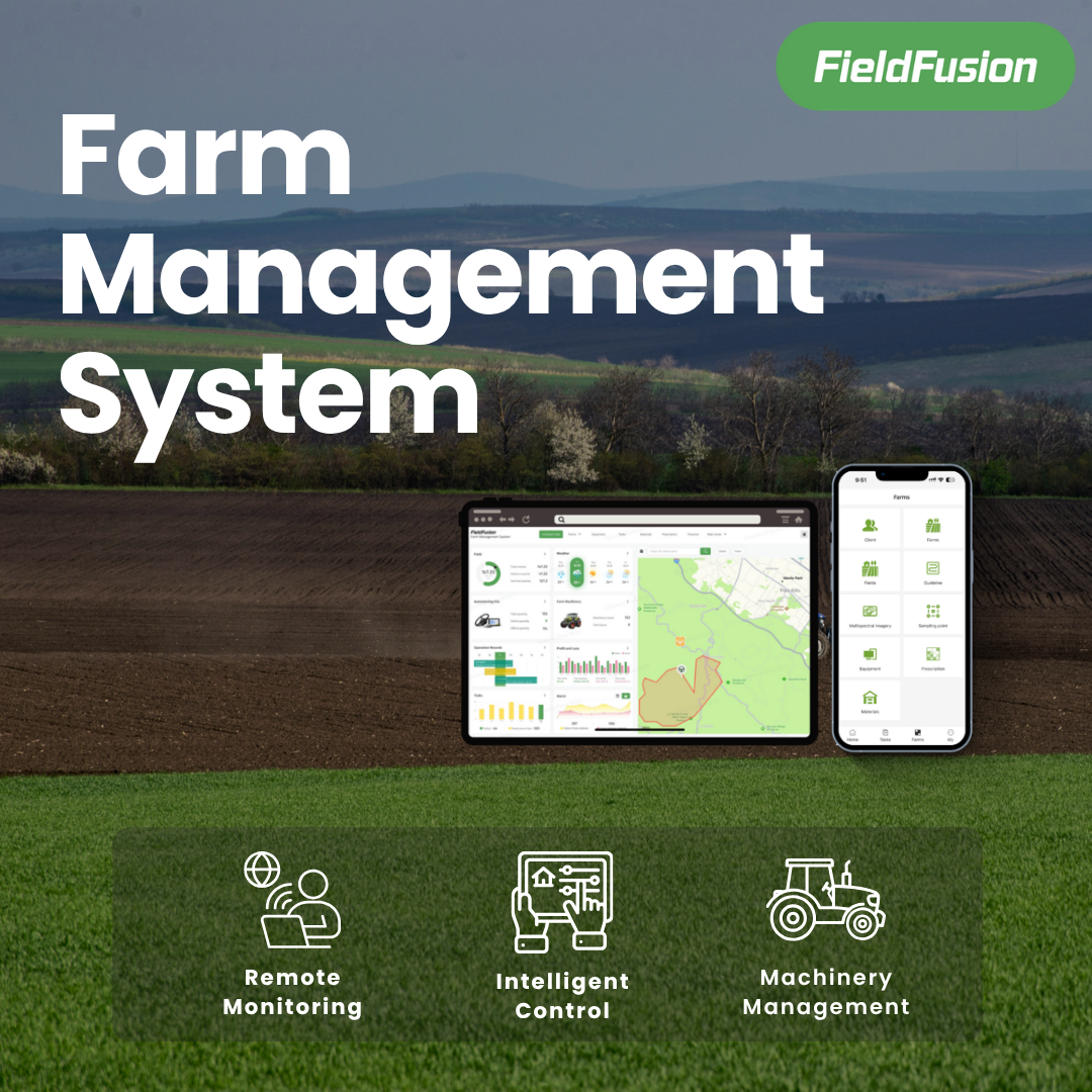
See status, records, and reports
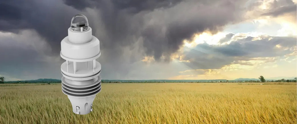
Bring in rain, wind, temperature
Choose better field-work windows
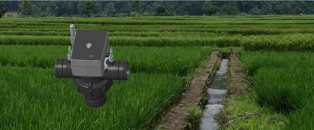
Send irrigation plans and schedules
Back flow, status, and alerts
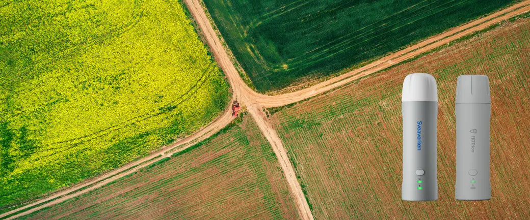
Collect boundaries, AB lines, obstacles
Reuse in routes, tasks, and maps
Move farming forward