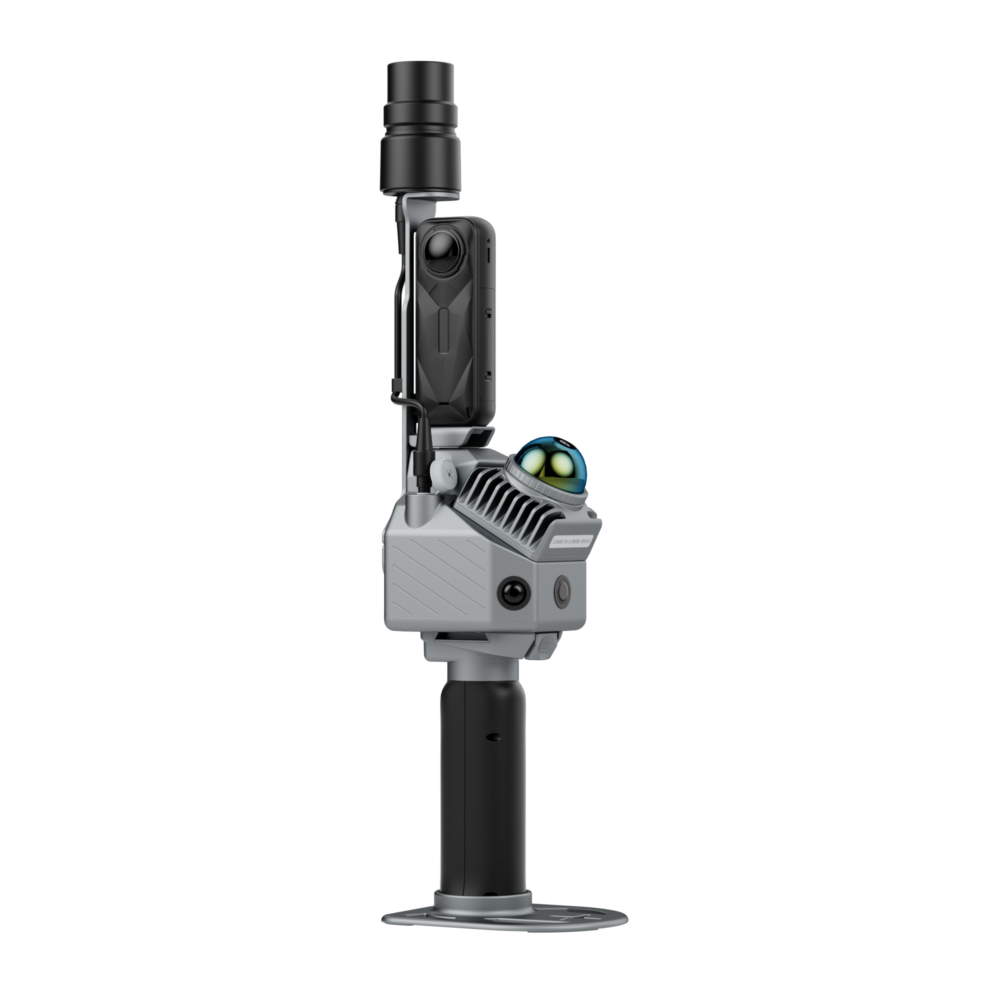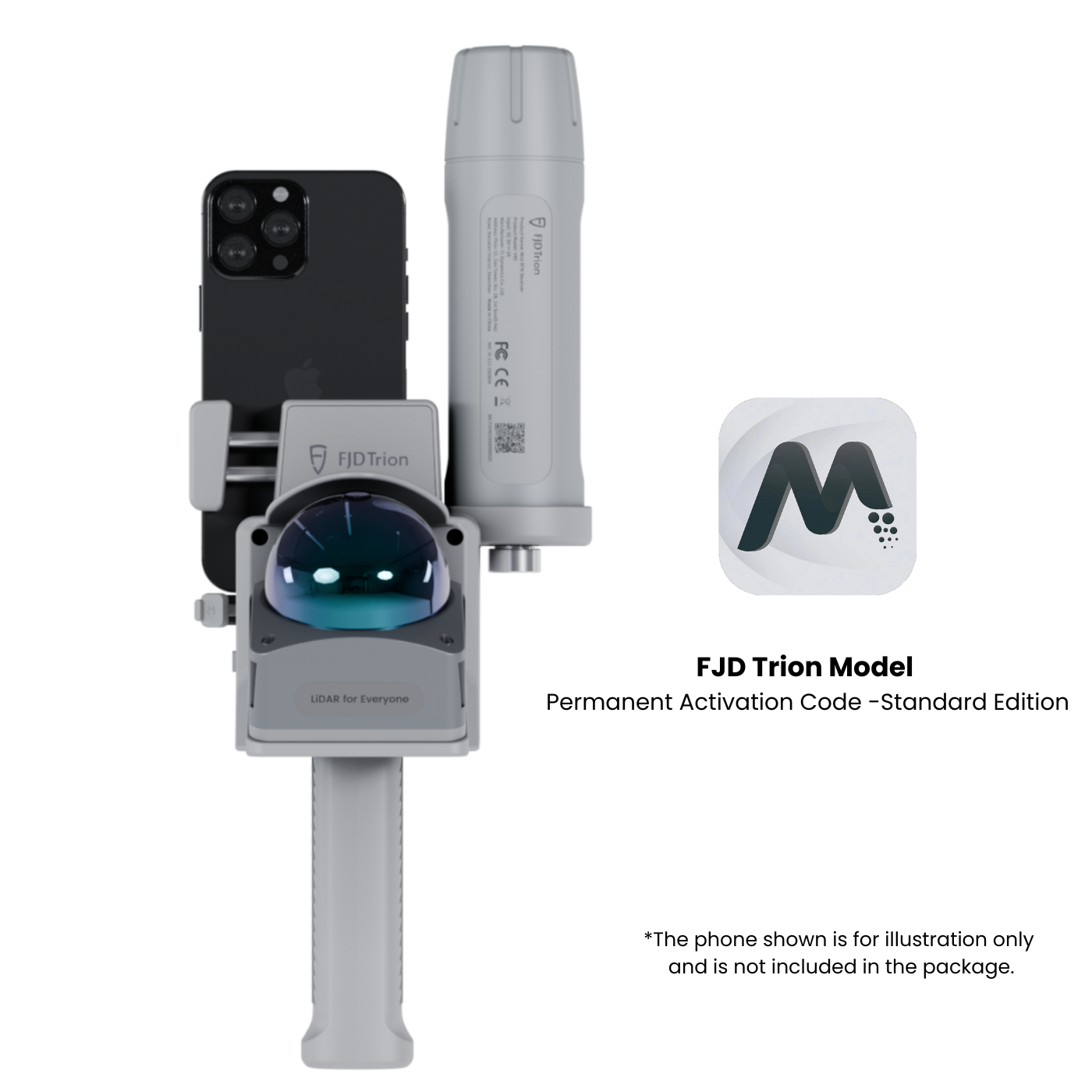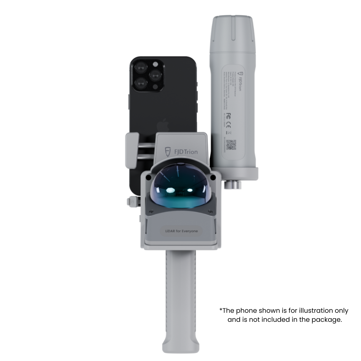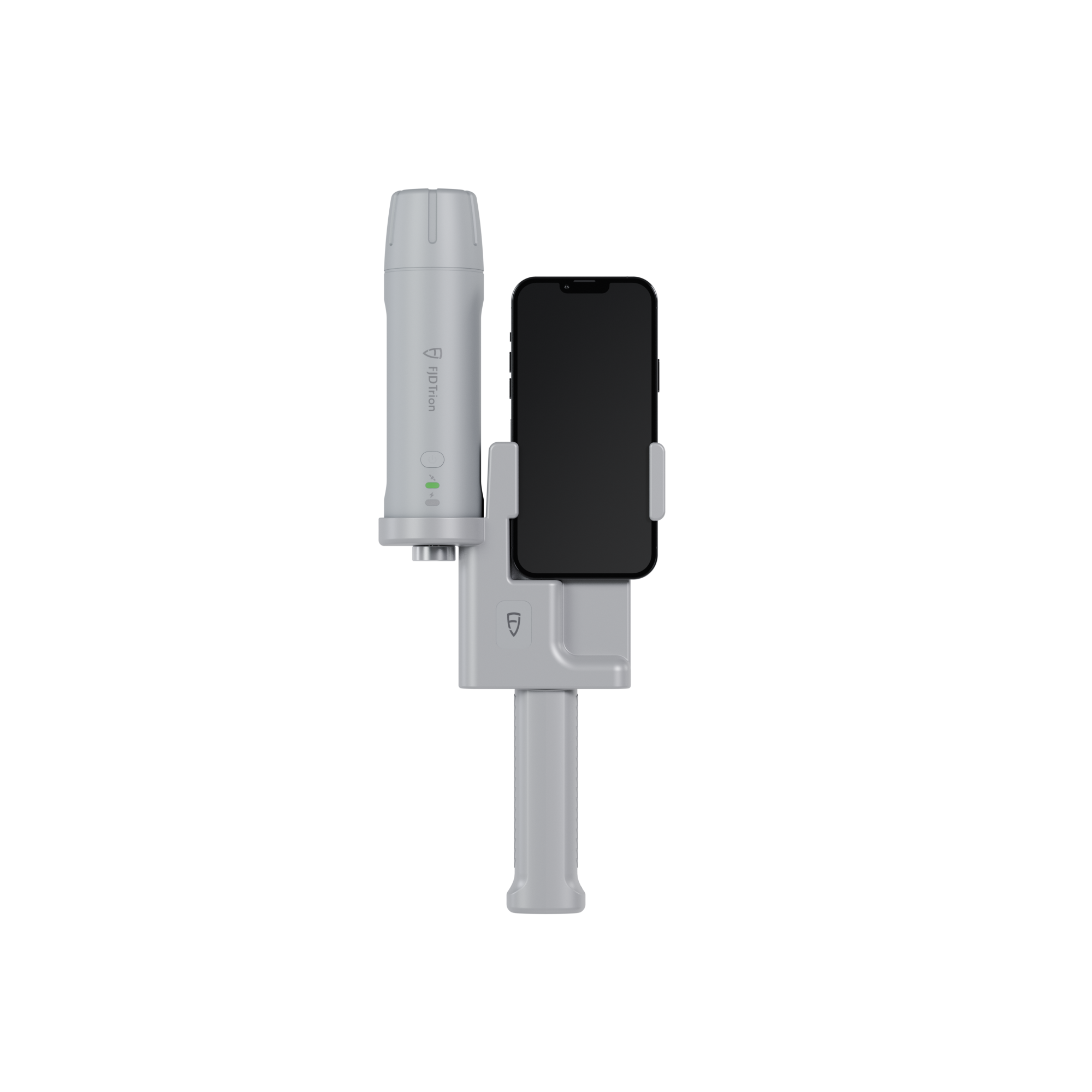


FJD Trion Model For FJD Trion P1 3D Handheld LiDAR Scanner
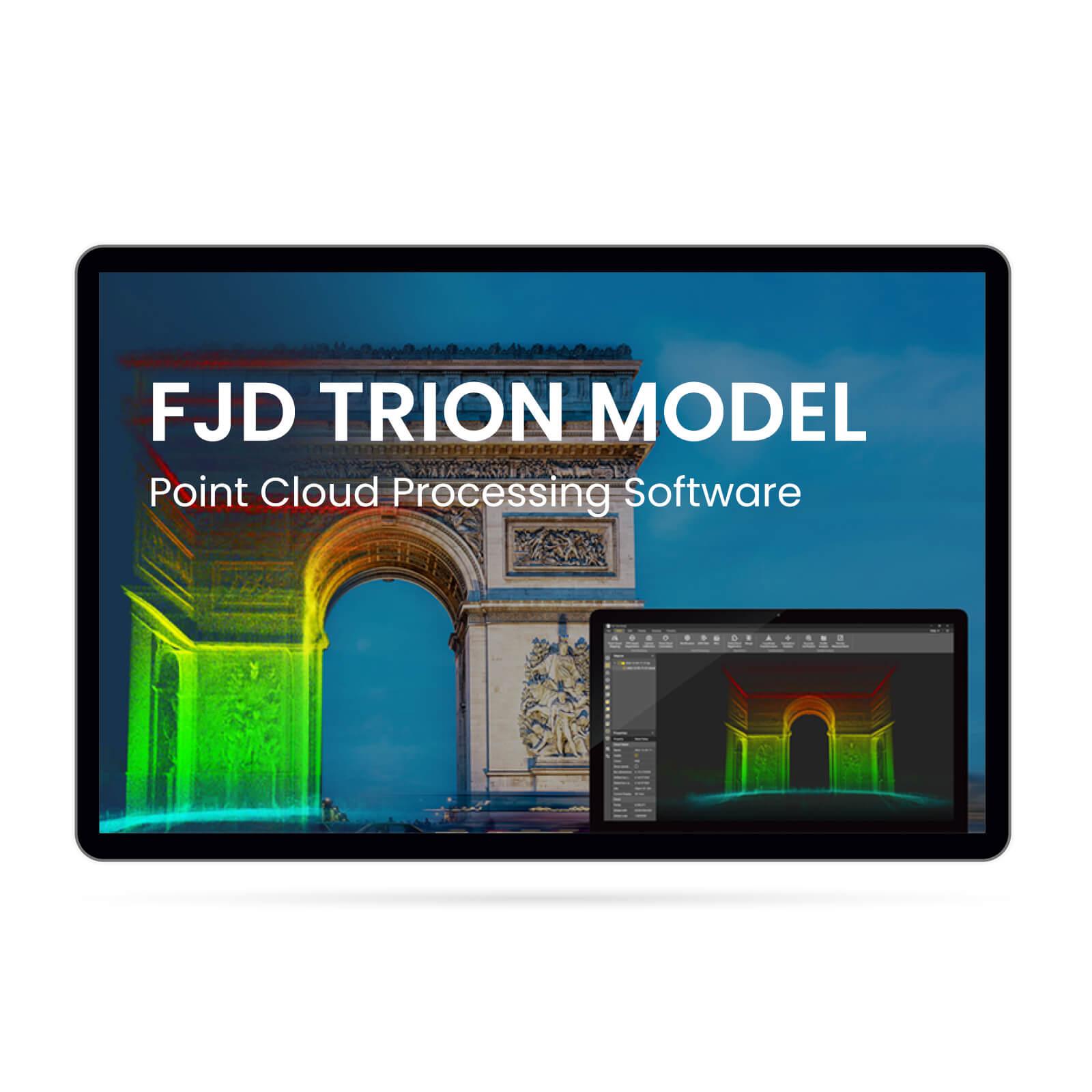
FJD Trion Model Point Cloud Processing Software
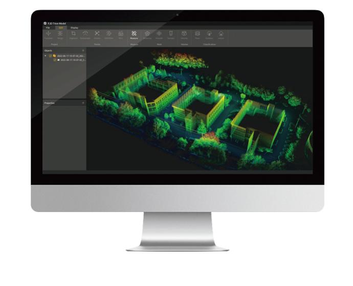
Experience easy point cloud data manipulation and analysis with FJD Trion Model, featuring a user-friendly interface and advanced algorithms. The software provides an all-in-one solution with integrated modules for forestry, drawing, and robot mapping, streamlining the data import and analysis process. Choose FJD Trion Model for versatile, efficient, and high-level integration point cloud processing.
-
User-Friendly Operation & Advanced Algorithm Support
-
Versatile All-in-One Solution with Integrated Modules
-
Efficient 3D Gaussian Splatting Technology
-
Multi-Platform Compatibility & On-the-Go Processing
-
Comprehensive Essential Processing Functions
-
Convenient Data Sharing & Collaborative Workflows
-
Wide-Ranging Application Scenarios
![]() Get it between -
Get it between -
Pay with Ease


Trusted Delivery

FJD Trion Model For FJD Trion P1 3D Handheld LiDAR Scanner
Sale price$705.00 CAD

FJD Trion Model Point Cloud Processing Software
Experience easy point cloud data manipulation and analysis with FJD Trion Model, featuring a user-friendly interface and advanced algorithms. The software provides an all-in-one solution with integrated modules for forestry, drawing, and robot mapping, streamlining the data import and analysis process. Choose FJD Trion Model for versatile, efficient, and high-level integration point cloud processing.
3D Gaussian Splatting
No need for complex meshing or manual modeling—FJD Trion's 3DGS engine renders photorealistic scenes directly from scan data. Generate immersive digital twins in minutes, not hours—ideal for architectural visualization, construction planning, cultural preservation, and more. The result is an intuitive, fly-through experience that transforms how projects are presented and reviewed.
Essential Processing Functions
 | One-Click CorrectionCorrect point cloud tilt with a single click. |
Profile AnalysisMeasure and display multiple cross-sections to evaluate point cloud data quality. | |
Volume CalculationCalculate stockpile and enclosed volumes. | |
Auto ClassificationAutomatically classify point cloud data related to buildings, trees, and geological features for urban planning, forestry, and mineral exploration. |
One-Click CorrectionCorrect point cloud tilt with a single click. |
Profile AnalysisMeasure and display multiple cross-sections to evaluate point cloud data quality. |
Volume CalculationCalculate stockpile and enclosed volumes. |
Auto ClassificationAutomatically classify point cloud data related to buildings, trees, and geological features for urban planning, forestry, and mineral exploration. |
Professional Applications
Auto Contour ExtractionExtract vector contour lines from point cloud data with one click. | Forestry ParametersEdit segmentation results to extract tree location, height, and crown width, and batch-extract attributes to create reports that provide valuable forest survey, management, and planning insights. |
 | Recommended system requirements for FJD Trion Model App |
Simpler Point Cloud Processing
Analyze and process raw point cloud data directly without downloading and importing them, making it a breeze to process even on the go.
Clearer Point Cloud Rendering Effect
Deliver superior visual clarity on point cloud thanks to the high-resolution performance and powerful processors, rendering images smoother than ever before on PC.
Faster Sharing after Post-processing
Share and publish point cloud data, fly-through videos, and rendering videos on social media to enhance brand exposure and boost sales.
Application Scenarios

Residential Real Estate
Utilize 3D tour to create more engaging experiences for visitors while delivering more conversions

Travel & Hospitality
Give guests a captivating glimpse of properties to help them plan their stay more
effectively.

Commercial Real Estate
Provide real estate teams with immediate access and valuable insights to assess how a space aligns with company needs.

Architecture, Engineering &Construction
Help clients to better assess risks, deliver product designs, plan constructions, and generate Scan-to-CAD/BIM files.
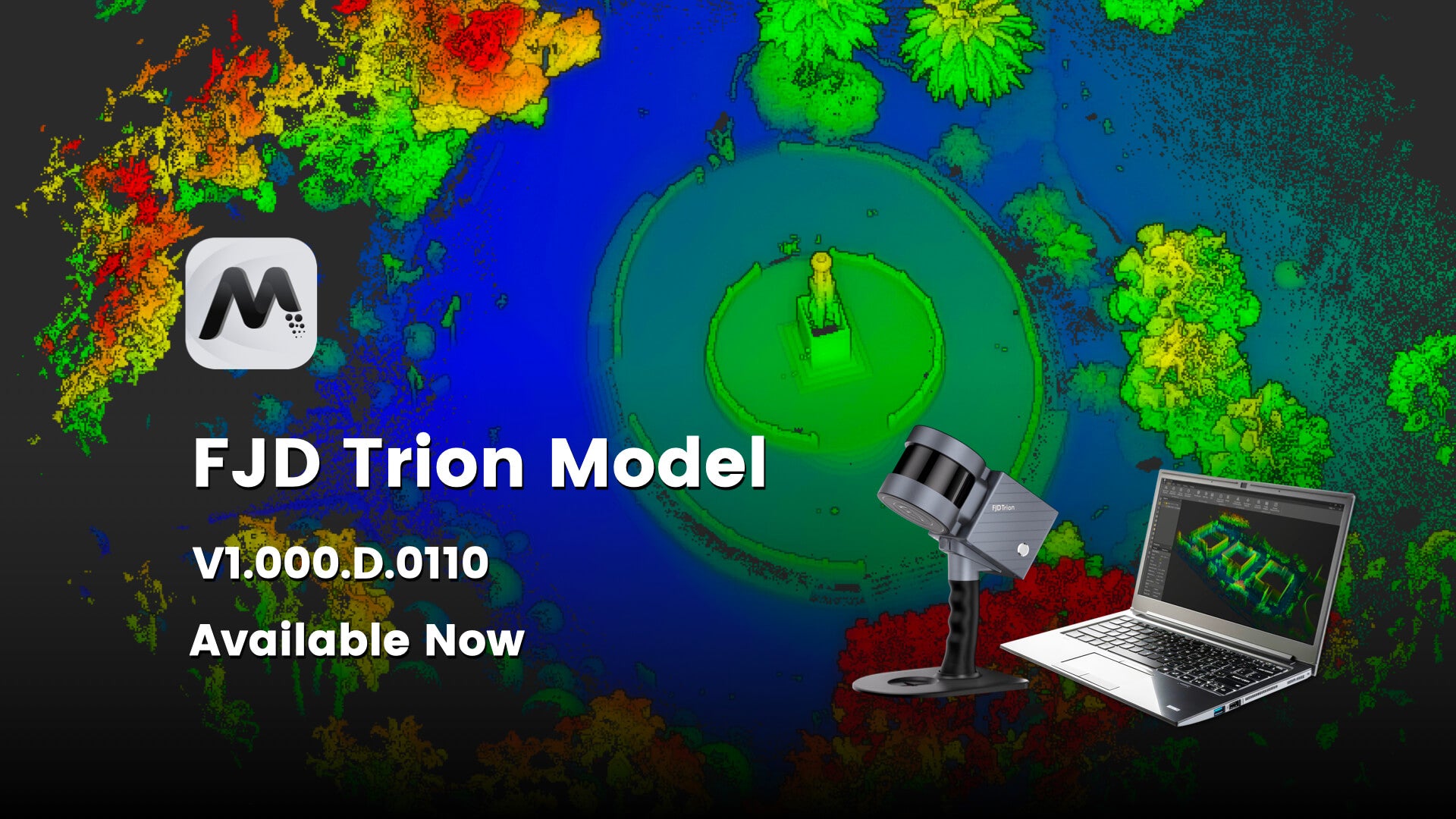
FJD Trion Model Software Download |